
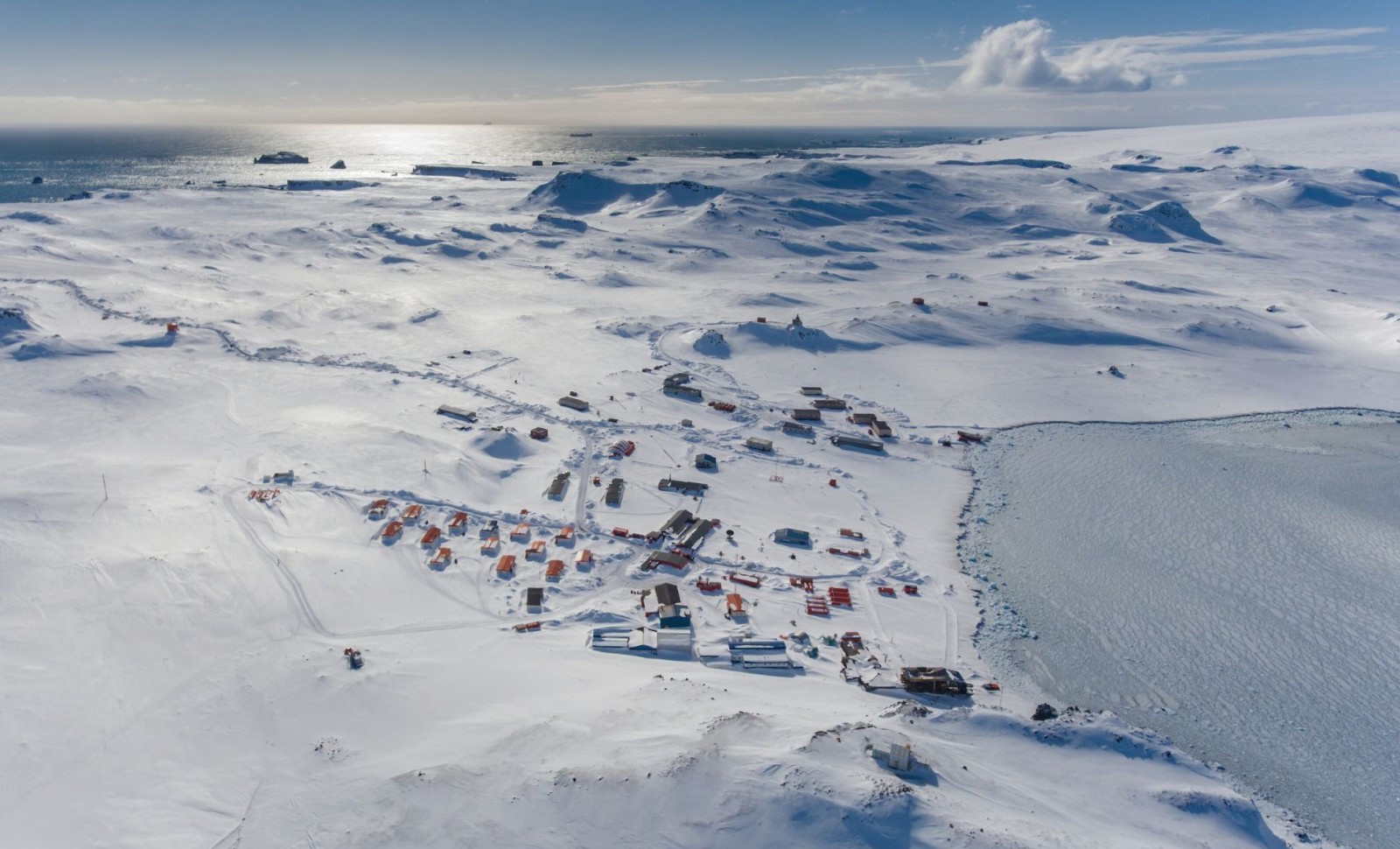
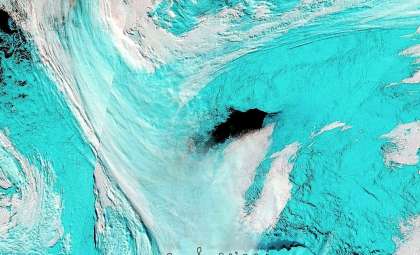
Hidden beneath nearly two kilometers of thick Antarctic ice, scientists have identified a vast, pristine landscape that has not seen sunlight for over 34 million years. This remarkable environment was unveiled through advanced satellite imagery.
Utilizing high-resolution radar mapping coupled with aerial surveys, this find offers more than just a glimpse of a vanished world. It holds key insights into the Earth's climatic and geological transformations that occurred millions of years before humans existed.
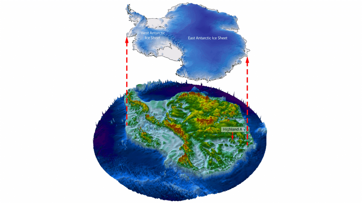
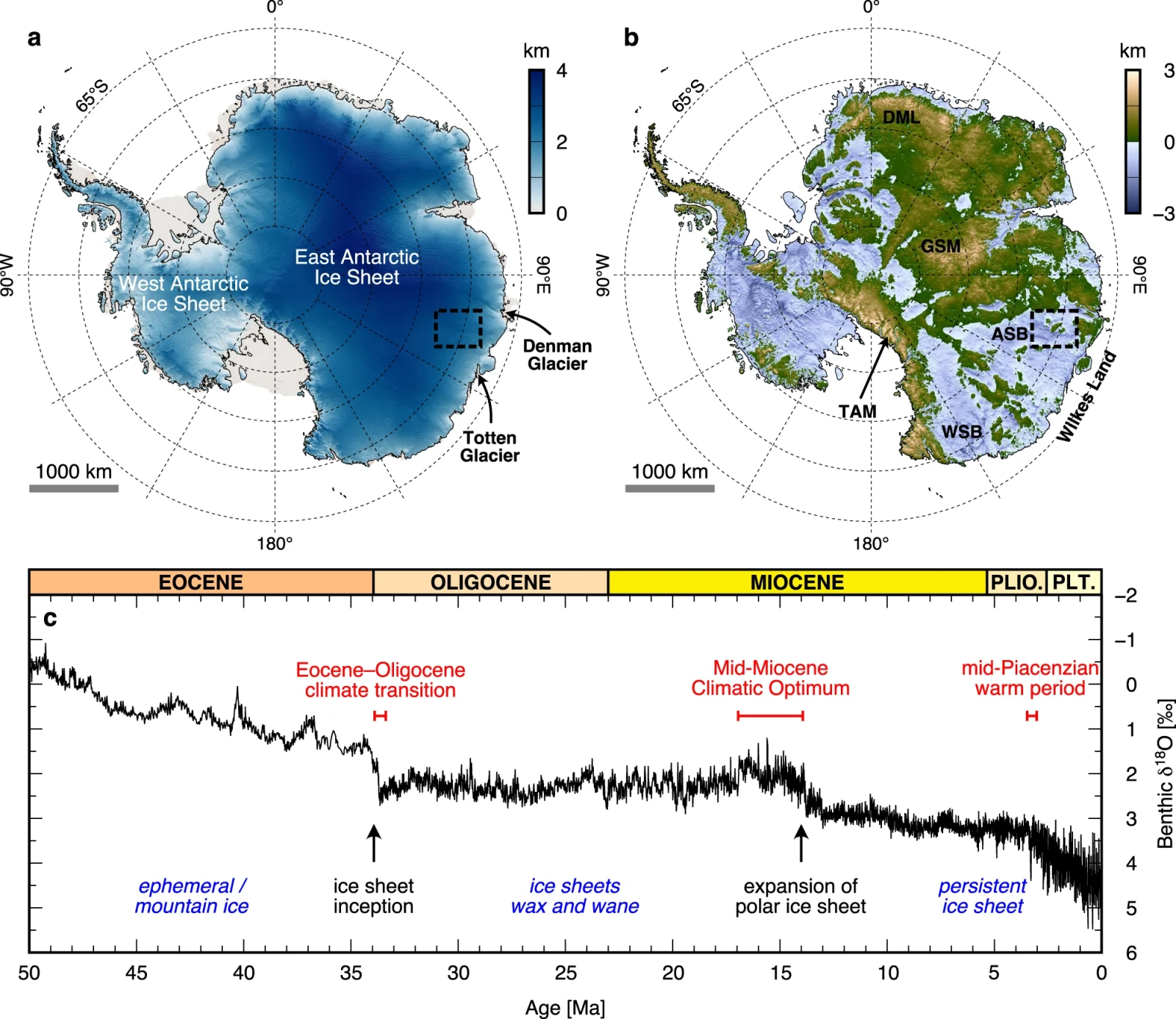
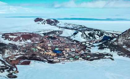
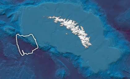
Helmed by glaciologist Stewart Jamieson from Durham University, an international team analyzed data collected by Canada's RADARSAT satellites. Their focus was the East Antarctic Ice Sheet, covering an area nearly the size of Wales, and the patterns they identified were far from coincidental.

Decoding the Hidden Terrain with Satellite Eyes
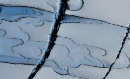
The breakthrough came from modern satellite remote sensing—a tool that, while unassuming, has shown impressive capabilities recently. RADARSAT’s precision in detecting subtle undulations on the icy surface, virtually invisible to casual observation, allowed researchers to map the ancient landforms underneath—without any need to physically penetrate the ice.
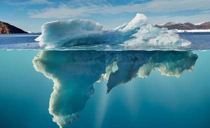
The research, documented in Nature, combined satellite observations with airborne radio-echo sounding. This technique emits radar pulses through the ice and measures the reflection time. Much like echolocation used by bats, it reveals the structure below the ice in exquisite detail. The findings uncovered a carefully preserved system of prehistoric rivers, hills, and ridges.
“Those rivers were probably flowing towards the coast, which is a few hundred kilometers away, at a time when that coast was opening up,” Stewart Jamieson said.
Additionally, the team employed flexural modeling to simulate how the Antarctic landmass deformed under the weight of accumulating ice. This helped illustrate how the terrain adapted and bent beneath the expanding ice sheet.
Antarctica’s Once Vibrant Ecosystem
Before transforming into the icy desert known today, Antarctica was part of the supercontinent Gondwana, which included present-day South America, Africa, India, and Australia. The hidden landscape once supported flowing rivers and was likely covered by dense forests, an ecosystem starkly contrasting with the current frozen wilderness.
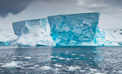
What elevates the significance of this discovery is its exceptional preservation. The thick ice, measuring more than 1.2 miles in some regions, has effectively shielded this ancient landscape from erosion. Unlike many other locations that have endured transformations from wind, water, and tectonic forces, this terrain remains nearly identical to how it appeared when the ice first covered it.
“What would be really intriguing is actually going to that location and drilling through the ice to get a sample of the rock and sediment underneath,” he added. “That would be the only way we could confirm the age.”
- Categories:
- Science


0 comments
Sign in to Comment