
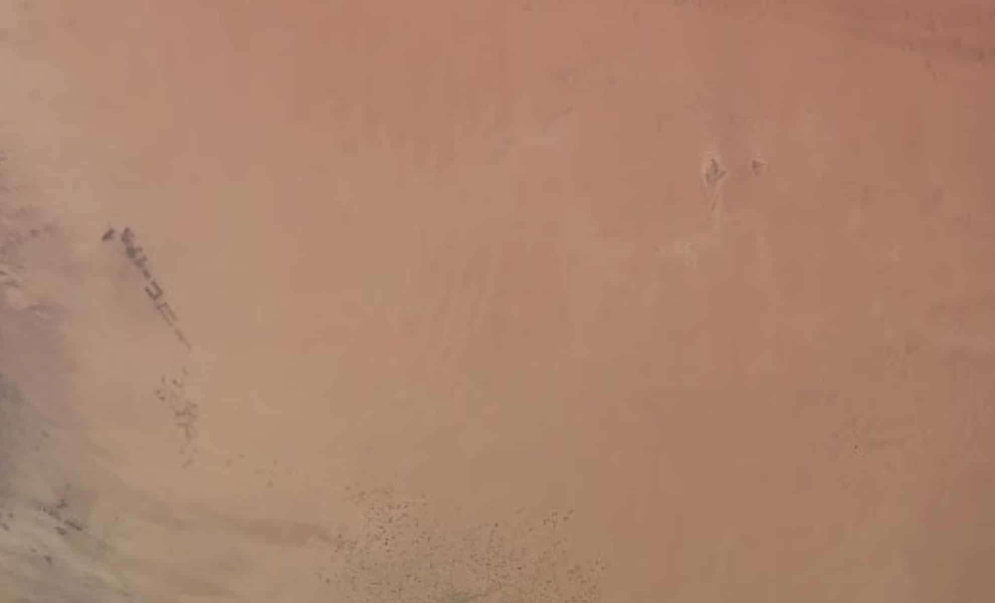
During a recent live stream broadcast from the International Space Station (ISS), observers were intrigued by unusual geometric patterns visible across a remote desert landscape. Captured using a commercial Earth-observing system in stunning 4K resolution, these formations appeared too organized to be natural, sparking widespread speculation about hidden messages, extraterrestrial communication, or secret military sites.
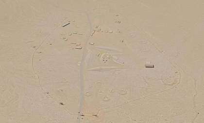
According to Mashable, the imagery originated from approximately 250 miles above Earth, captured by a high-tech camera operated by Sen, a private company specializing in real-time terrestrial monitoring from orbit. However, the impressive designs turned out to be far from mysterious—they represented large-scale agricultural patterns. Specifically, expansive irrigation and land-development techniques in southern Tunisia had formed distinct geometric shapes that, when viewed from space, resembled intricate symbols carved into the desert floor.
Smart Cameras Capturing Earth’s Surprises
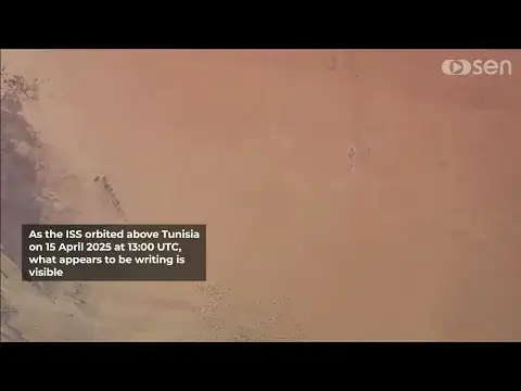
The visuals were produced by one of the trio of advanced cameras aboard the ISS, part of Sen’s EarthTV initiative which offers panoramic and focused live Earth footage. The enigmatic desert patterns emerged during a routine North African flyover on April 15, 2025. Charles Black, the founder and CEO of Sen, explained that initially no descriptive labels accompanied the footage intentionally.

“We aim to engage viewers actively,” Black stated. “We provide the location but leave interpretation open for discussion and feedback.” This deliberate ambiguity wasn’t rooted in space secrets but in Earth’s own landscapes. “It encourages curiosity and dialogue,” he added, highlighting Sen’s goal to foster worldwide interest in observing Earth as it unfolds in real time from orbit.
Modern Farming, Not Alien Communication
The peculiar formations are caused by center-pivot irrigation technology, a farming method where rotating sprinklers cultivate circular or square plots. In dry regions such as Tunisia, this system is essential for producing crops amid desert conditions. When viewed from hundreds of miles above, these agricultural designs can look like intentional coded symbols or large-scale glyphs.
Unfamiliar observers often mistake these patterns for mysterious markings, contributing to the viral spread of the imagery. In reality, these are well-known farming techniques documented through satellite images over various arid areas of the Middle East and North Africa in recent years.
The Innovative Technology Behind the ISS Camera
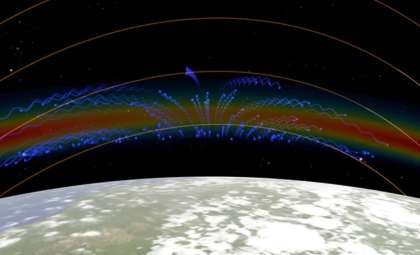
Sen’s camera system was not simply attached to the ISS without thorough validation; it underwent extensive safety testing, including checks for electromagnetic interference (EMI), to ensure compatibility with station operations. Installed on a European Space Agency (ESA) module, it benefits from Airbus support for power and data transmission. The cameras continuously scan and livestream an expansive 250-by-150-kilometer segment of the planet, capturing phenomena ranging from auroras and lightning to glowing urban centers and unfamiliar terrains.
This desert footage highlights the allure of space-based Earth observation: everyday human activities can often seem otherworldly when viewed from this unique vantage point.
A Universal Perspective from Space
Sen’s commitment to public participation reflects a larger vision. Instead of delivering data exclusively to researchers or policymakers, they strive to generate captivating, accessible visual content that inspires a new way of seeing our world. As Black expressed, “You witness a stunning planet without borders.” This perspective shift—from local scenes to a global scale—transforms a commonplace farming region in Tunisia into something that appears nearly archaeological.
With plans to add more cameras on future orbital platforms beyond the ISS, the clarity and immersive quality of these Earth views are expected to improve dramatically in the near future.


0 comments
Sign in to Comment