
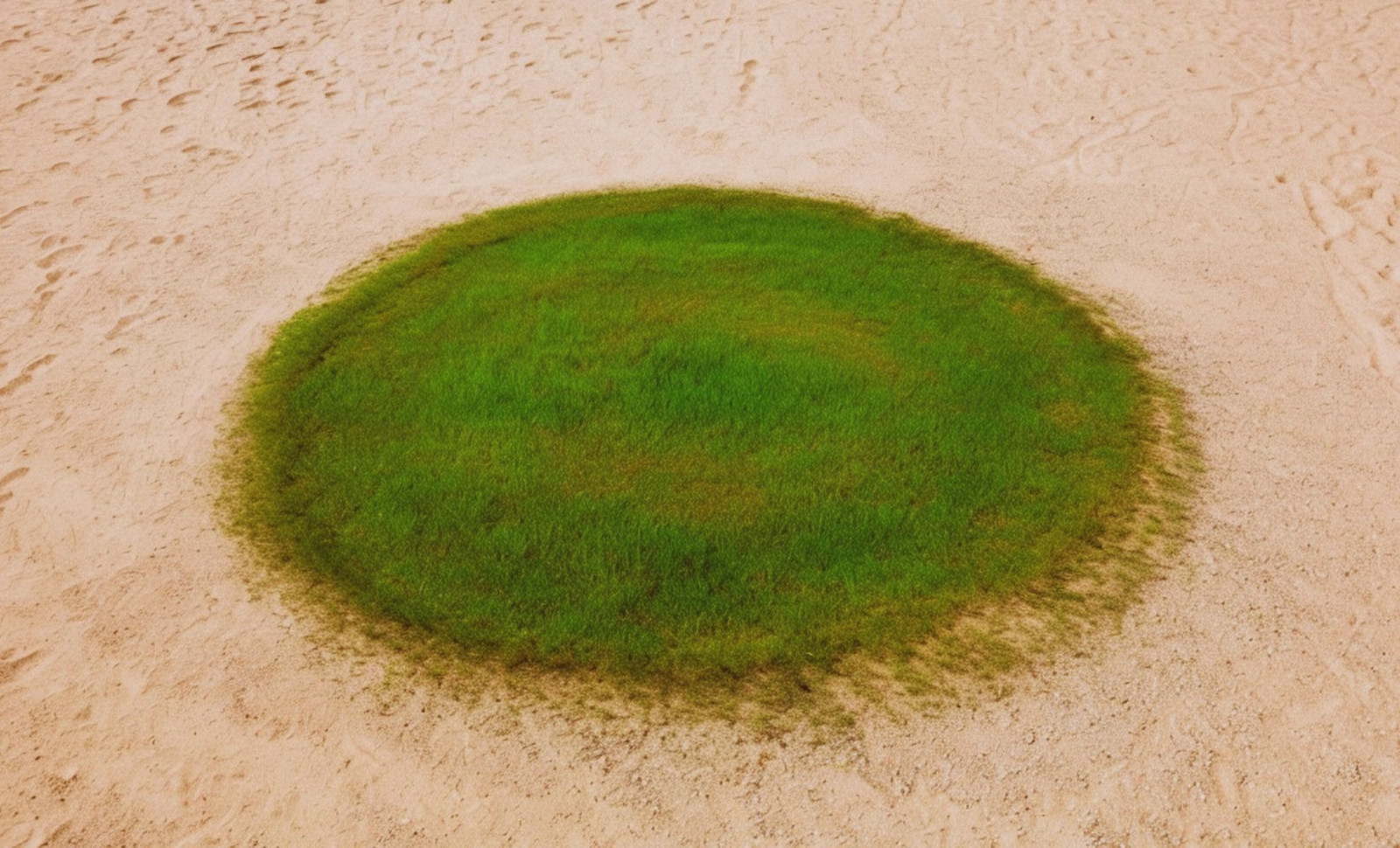
Nestled within a depression of the Nafud Desert, the settlement of Jubbah flourishes where water once dominated the landscape. Encircled by towering sand dunes and intense heat, this isolated community appears on satellite images as bright green circles, evidence of thriving agriculture supported by hidden groundwater reserves.
A Desert Town Preserved by Natural Features
Positioned inside a paleolake basin roughly 12.5 miles long and 2.5 miles wide, Jubbah benefits from a distinctive microclimate. The nearby Jabal Umm Sinman peak, standing at 4,144 feet (1,264 meters), significantly influences the area. Its two-lobed form resembles resting camels, which inspired its name, meaning “two camel-hump mountain.” According to NASA’s Earth Observatory, this mountain creates a “wind shadow” effect that shields the town from most of the migrating west-to-east desert sands.
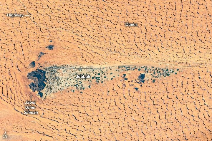
This natural windbreak also preserves local farming practices. The majority of cultivation employs center-pivot irrigation, producing the circular green fields visible from space. Jubbah’s access to water persists thanks to an underground aquifer supplying the region despite the extreme dryness above ground.

Traces from Ancient Desert Inhabitants
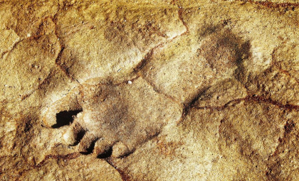
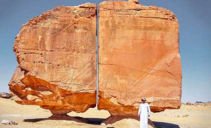
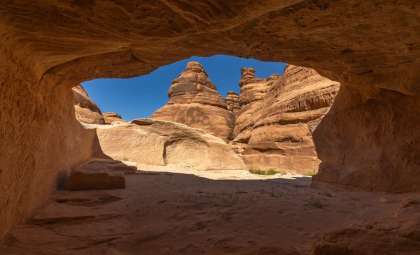
Beyond its agricultural significance, Jubbah ranks as one of Saudi Arabia's foremost archaeological sites. Spread throughout the rocky slopes of Jabal Umm Sinman are nearly 5,500 petroglyphs along with around 2,000 animal depictions, portraying creatures such as leopards, ostriches, and over 1,000 camels. These markings are estimated to be over 10,000 years old.
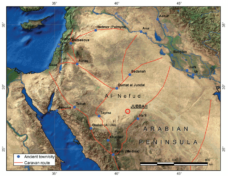
Highlights from the same source suggest the region served as a vital stopover for early human populations, due to its enduring water resources long after many Arabian Peninsula lakes dried, in the period around 5,000 years ago. Faint roads seen via satellite likely correspond to routes used by these prehistoric travelers. This cultural heritage, engraved in stone, forms part of a UNESCO World Heritage Site, which also encompasses rock art locations near Shuwaymis.
A Continent Facing Water Scarcity
The landscape surrounding Jubbah captures a snapshot from Earth’s history when the Arabian Peninsula was lush and verdant. As climate shifts brought about desertification, most of the region's freshwater lakes disappeared. The Earth Observatory highlighted that:
“Jubbah Lake was one of a network of freshwater sources in what was then a more humid environment. Even as the region became more arid, Jubbah Lake likely continued to hold freshwater for some time due to its position amid the groundwater-recharging dunes”
Discoveries like this reinforce emerging studies about ancient migration pathways, indicating that water-abundant refuges such as Jubbah played a pivotal role in early human dispersal across dry landscapes.
- Categories:
- Science


0 comments
Sign in to Comment