
For hundreds of years, our planet has been known to have seven continents, but this figure has come under scrutiny since 2017, based on solid geological research rather than speculation.
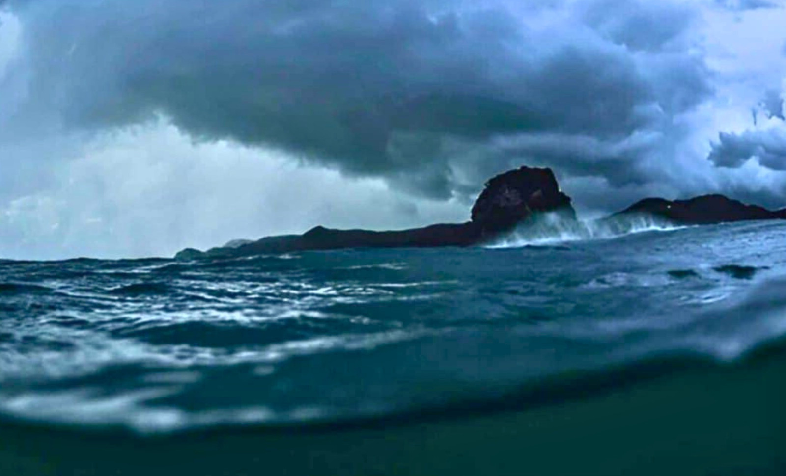
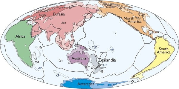
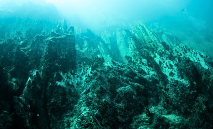
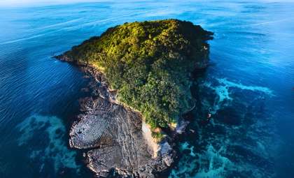
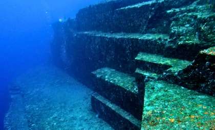
Hidden beneath the southwestern Pacific Ocean lies an enormous land area expanding nearly 1.9 million square miles—larger than India and about two-thirds the size of Australia. This intriguing region possesses its own unique crust, tectonic past, and even dinosaur fossils indicating it was once above water long after submergence began. Today, almost 94 percent of this landmass remains underwater, with only New Zealand, New Caledonia, and a few smaller islands visible above the waves.
This submerged expanse is called Zealandia. In a landmark March 2017 study published in the Geological Society of America’s GSA Today, a team of eleven geologists presented compelling evidence asserting Zealandia is not merely a collection of fragments or islands but qualifies as Earth’s eighth continent.

Why Zealandia Qualifies as a Continent
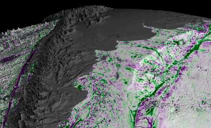
Earlier views dismissed the region as scattered continental pieces. However, progress in satellite gravity mapping, seafloor topography data, and deep-sea drilling revolutionized our understanding, enabling scientists to outline the submerged feature in unprecedented detail.
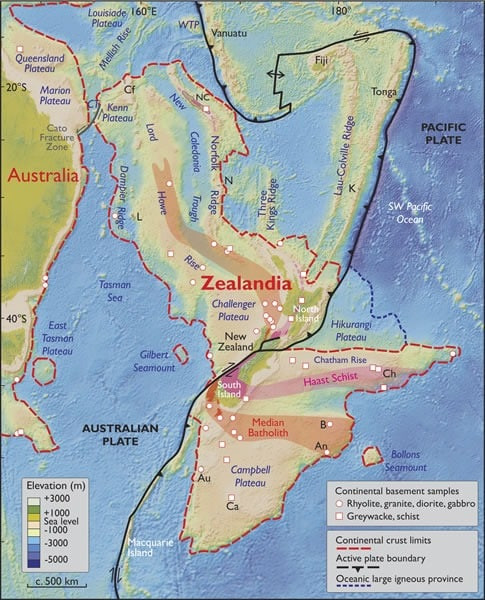
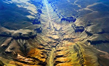
The discoveries matched every key geological criterion. Zealandia rests at a higher elevation than the adjacent ocean basin and contains silica-rich rock types typical of continental crust, unlike the basalt predominant in oceanic plates. Its crust thickness averages around 20 kilometers, much thicker than the 7 kilometers usually found in oceanic crust but somewhat thinner than most continents. Its underwater landscape—comprising ridges, plateaus, and basins—forms a connected and continuous landmass.
The 2017 publication plainly stated: “Zealandia is not just a collection of continental fragments. It is a coherent continent and should be recognized as such.” This thorough, peer-reviewed argument remains the strongest justification for acknowledging Zealandia’s continental status.
The concept has deeper historical roots. In 1995, geophysicist Bruce Luyendyk coined the name Zealandia for the submerged landmass, boosting interest in its classification. Going further back, Scottish geologist Sir James Hector suggested in 1895 that New Zealand represented the remnants of a sunken continental ridge—an idea that was largely overlooked at the time.
The Story of Zealandia’s Submergence
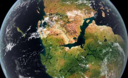
Zealandia was once part of the colossal Gondwana supercontinent, which united Antarctica, Australia, South America, Africa, and the Indian subcontinent. Over 100 million years ago, as Gondwana fragmented, Zealandia separated from eastern Australia, experiencing intense tectonic stretching that thinned its crust and gradually caused it to sink.
Estimates suggest the sinking began roughly 85 million years ago, with complete submersion by about 25 million years ago, although some evidence points to portions remaining above sea level much longer.
Fossils bolster the extended timeline hypothesis. In New Zealand and the Chatham Islands, remains of sauropods, ankylosaurs, and possible allosaur relatives have been uncovered—species which lived well after Zealandia detached from Gondwana. This suggests parts of Zealandia sustained terrestrial life for millions of years post-separation. A dinosaur-era foot bone found on the Chatham Islands, examined in BBC Future’s Zealandia feature, opens new questions about what remains buried beneath the ocean floor.
In 2017, researchers aboard the JOIDES Resolution drilled over 4,000 feet beneath the seafloor at multiple Zealandia locations. They recovered cores containing pollen, spores, and microfossils typically found in shallow marine and land environments, affirming significant areas of Zealandia were once exposed above sea level.
Scientific and Economic Implications
Recognizing Zealandia as a continent carries wide-ranging impacts beyond geology. Under the United Nations Convention on the Law of the Sea, nations can claim extended continental shelves beyond their usual Exclusive Economic Zones if they can prove geological continuity.
With Zealandia’s boundaries confirmed, New Zealand stands to expand its rights to marine minerals, seabed mining, and underwater energy reserves.
From a scientific perspective, Zealandia is a crucial case study influencing theories on plate tectonics and continental breakup, especially concerning submerged and deformed landmasses. Its unique crust offers direct insight into how continents evolve when subjected to extensive tectonic forces.
- Categories:
- Science

0 comments
Sign in to Comment