
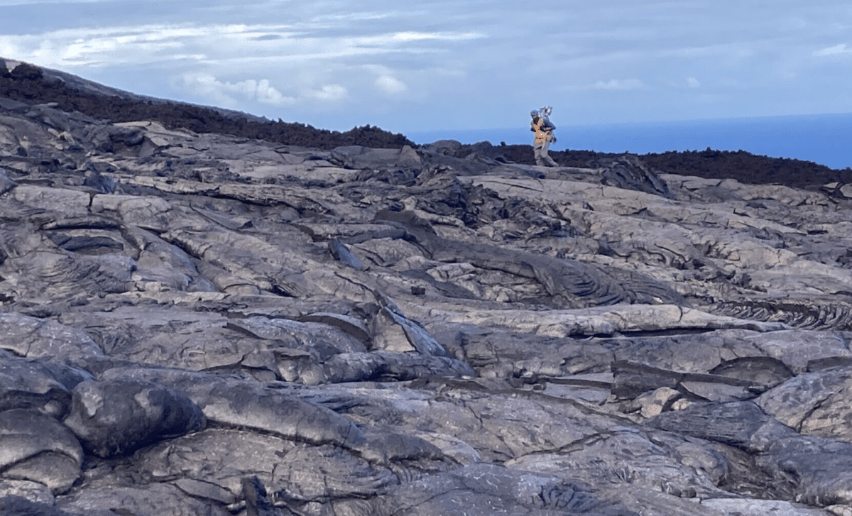
Scientists exploring volcanic terrains in Hawaii have pioneered novel techniques for interpreting lunar surface data, shedding light on how early volcanic processes influenced the Moon’s landscape. This advancement, unveiled by the University of Western Ontario, merges terrestrial fieldwork with data from lunar orbiters.
Hawaii Serves as a Terrestrial Model for Lunar Volcanism
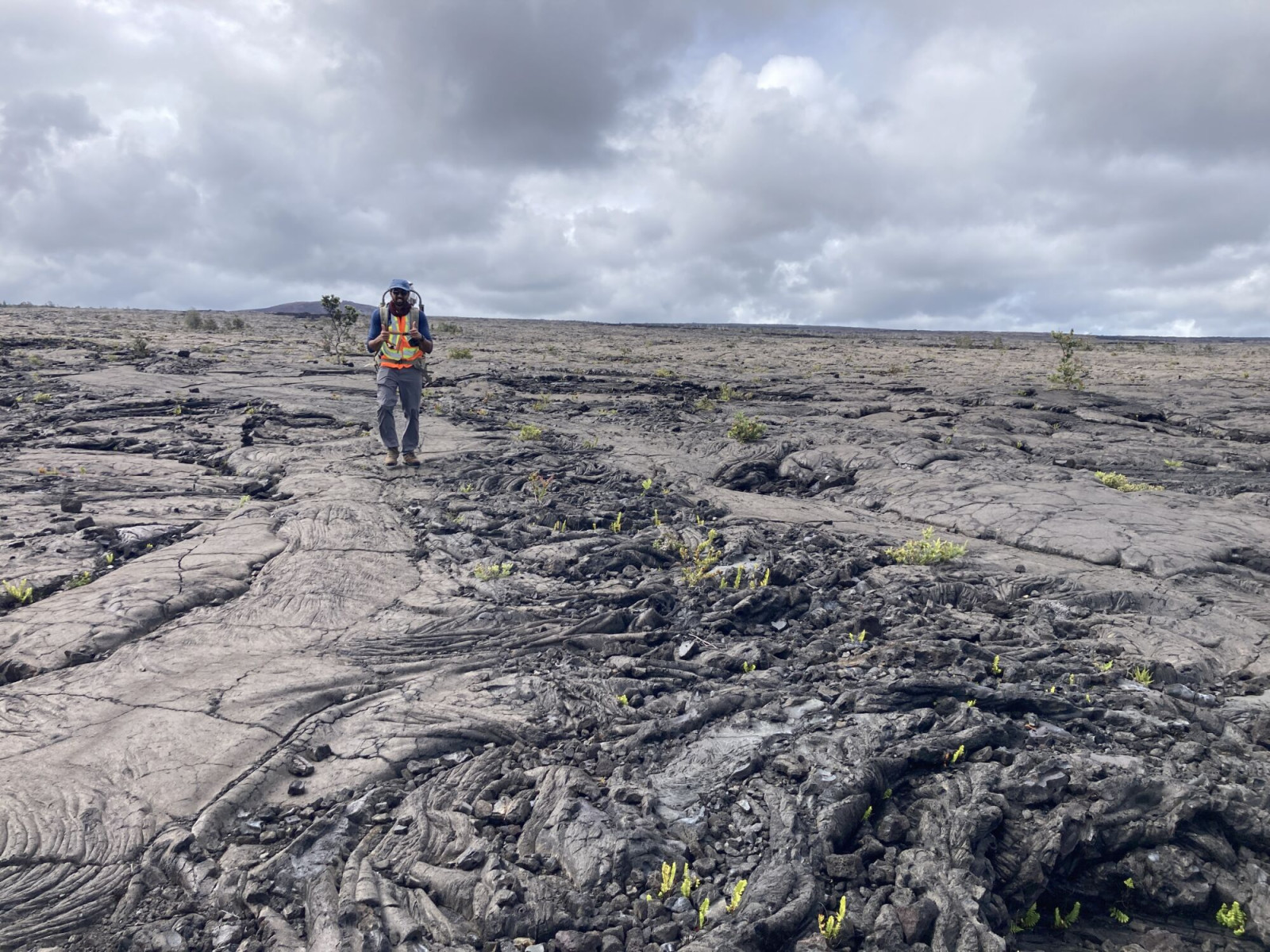
Researchers visited volcanic areas in Hawaii that exhibit features resembling volcanic formations seen on the Moon. Their objective was not solely to examine Earth’s geological activity but to establish reference points for analyzing imagery and radar data captured by lunar missions.
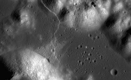
The investigation focused on comparing lava flow characteristics, surface textures, and fine geological details using instruments analogous to those deployed during lunar explorations. These ground observations were matched with data from NASA’s Lunar Reconnaissance Orbiter (LRO) and its Mini-RF radar system.

“When you’re looking at something from orbit, you have to interpret what you’re seeing,” said Neish, an expert in orbital radar observations and the geology of planetary surfaces. “Going into the field allows us to understand what those features actually look like up close.”
Direct examination of terrestrial volcanic structures enhances the capacity to decode remote planetary landscapes. This integrated approach helps link orbital observations with tangible geologic phenomena.
“By studying lava flows on Earth, where we know the geology, we can better understand what the LRO, and the Mini-RF in particular, are telling us about similar volcanic features on the Moon,” said Neish, a professor of Earth sciences.
Radar Technology Unveils Subtle Lunar Surface Details
This research underscores the importance of radar sensing in planetary exploration. While optical imagery offers information about shape and form, radar reveals texture and physical properties of the surface materials.
By applying detailed terrain studies, scientists could identify subtle features that remain hidden in conventional images. These precise measurements allow for improved analysis of volcanic structures and impact features across the lunar landscape.
“We focus on really fine-scale topography because that’s where LiDAR and radar excels,” said Neish. “It can detect roughness variations at the centimetre scale, revealing incredibly fine details hidden from optical images.”
This evidence highlights the ongoing significance of field studies on Earth even amid advanced space missions. Orbital data benefits greatly from geological context provided by comparable terrestrial environments.
“Remote sensing gives us incredible information about planetary surfaces, but understanding what that data means requires connecting it back to what we know from the ground,” said Vanga, a PhD candidate in geology with a specialization in planetary science. “Field studies like this help us better interpret what spacecraft are seeing and improve the tools we use to explore other worlds.”
Expanding Lunar Research Beyond Water Ice Exploration
The team also investigated whether radar could identify signs of water ice on the Moon. Although no strong evidence for water ice was detected via the Mini-RF instrument, the analysis yielded vital insights into lunar geological processes.
These findings show that tools designed for resource detection can also uncover volcanic and impact history, contributing to understanding the Moon’s evolution over billions of years.
“We didn’t really find much evidence, honestly, for water ice with the Mini-RF instrument,” said Neish. “But what we did find was a lot of great information about volcanism and impact cratering and all the geologic processes that shape the Moon – all critical for future space missions and humanity’s eventual lunar outposts.”
This research emphasizes that lunar exploration encompasses far more than resource mapping; comprehending the Moon’s geological heritage is key to selecting future mission sites and preparing for sustained human presence.
The University of Western Ontario study enhances our grasp of Earth’s nearest celestial neighbor by integrating terrestrial fieldwork with radar and spacecraft observations, constructing a detailed narrative of the Moon’s formation and transformation.
“The Moon is not just a distant object in the sky,” said Neish, a professor in Western’s department of Earth sciences. “It’s a world with a history, and we’re trying to understand that history.”
Charting a Course for Upcoming Lunar Missions
As international space programs gear up for new lunar expeditions, in-depth knowledge of the Moon’s surface becomes increasingly crucial. Future astronauts and robotic explorers will navigate terrains molded by volcanism, meteor impacts, and extensive geological transformations.
Connecting terrestrial sites like Hawaii to lunar observations equips scientists with refined techniques to interpret unexplored lunar areas. These advancements could improve geological mapping and aid in recognizing key surface formations from orbit.
The Moon, while relatively accessible, still holds countless mysteries within its ancient crust. The synergy of Earth-based exploration and remote sensing continues to reveal that there is far more hidden in lunar terrains than what optical images alone can display.
- Categories:
- News



0 comments
Sign in to Comment